
Discover Northern Alberta’s Remote Roads & Cultural Heartlands
High Level to Slave Lake Circle Tour | NW Alberta Road Trip
This loop between High Level and Slave Lake is Northern Alberta at its best — big skies, quiet towns, and cultural landscapes shaped by the First Peoples who have called this region home for thousands of years.
From boreal forests to wide-open river valleys, this route takes you on a journey where every stop feels like a hidden gem — and every community has a story.
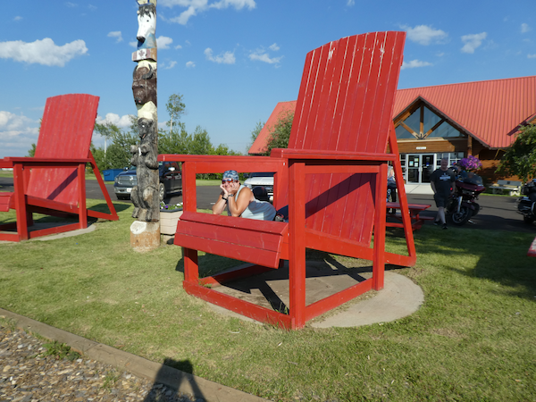
![High Level Red Chairs]() 🌲 High Level to Slave Lake: Where the Wild Begins
🌲 High Level to Slave Lake: Where the Wild Begins
Start in High Level, a vital hub on the Mackenzie Highway. From here, the road leads you through Paddle Prairie and south to Manning, through forest-lined stretches and peaceful rural towns.
 🌲 High Level to Slave Lake: Where the Wild Begins
Pause in Marie Reine or take in the dramatic valley views around Peace River — a local favourite for road trippers. From there, you’ll roll through small but vibrant communities like Dixonville, Donnelly, Falher, and Girouxville, before winding into McLennan, Enilda, and High Prairie.
Continue toward Joussard, Grouard, and Kapawe’no First Nation, where lakeside quiet and cultural heritage meet. Then cruise past Kinuso, Canyon Creek, and Driftpile First Nation, finally arriving at Slave Lake, where Lesser Slave Lake stretches to the horizon.
To see more photos of High Level , visit the High Level album on our Flickr account.
🪶 Stories in the Land: First Nations & Cultural Roots
This region is rich in Indigenous heritage, with communities like Driftpile First Nation, Sucker Creek, Kapawe’no, and Atikameg welcoming respectful travellers.
Slow down. Read the signs. Visit cultural centres when possible. These lands are layered with stories that make the journey deeper.
![Lesser Slave]() 🛣️ Return to the North: Slave Lake to High Level
🛣️ Return to the North: Slave Lake to High Level
Heading back from Slave Lake, trace the lake’s edge through Canyon Creek, Kinuso, Faust, and Driftpile again.
Stop for a picnic in Joussard or explore the history of Grouard.
From there, head northwest through Atikameg and Red Earth Creek, then make your way to La Crete, known for its Mennonite heritage and famous bakery.
We have some fabulous photos from Le Crete in an album in our Flickr account.
Swing north into Fort Vermilion — one of Alberta’s oldest settlements — before returning to High Level, full circle.
☕ Hidden Gems Along the Way
-
La Crete Bakery – Known across the north for fresh bread and baked goods
-
Peace River Valley Lookouts – Especially near Marie Reine
-
Fort Vermilion Museum – Preserving fur trade history
-
Kapawe’no Cultural Markers – Stories of resilience and connection
-
Joussard Dock – Great for sunrise and fishing photos
📸 Pro Tip:
Plan your drive for golden hour. The Peace River valley glows near sunset, and Joussard mornings are perfect for lakeside reflection shots.
Maps: NW 9 & NW 10
Towns & Communities:
High Level, Paddle Prairie, Manning, Marie Reine, Peace River, Dixonville, Donnelly, Falher, Girouxville, McLennan, Enilda, High Prairie, Joussard, Grouard, Kapawe’no First Nation, Kinuso, Canyon Creek, Driftpile First Nation, Slave Lake, Sucker Creek First Nation, Atikameg, Red Earth Creek, La Crete, Fort Vermilion